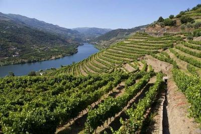
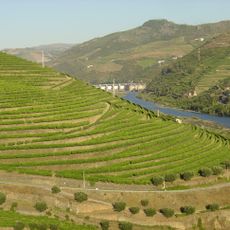
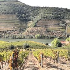
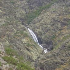
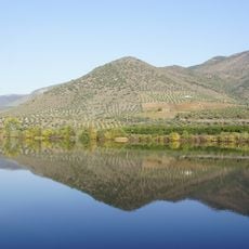
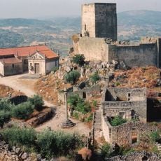
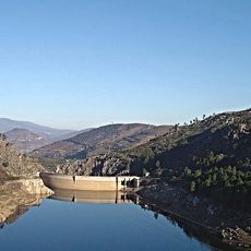
Douro Subregion, Wine region with terraced vineyards in northern Portugal
The Douro Subregion stretches across steep river valley landscapes with numerous vineyards carved into mountainsides along the Douro River between Vila Real and Porto. The terrain is supported by traditional stone walls built along slopes to enable grape cultivation on extremely steep ground.
The region gained recognition in 1756 when Portugal established it as the first controlled wine appellation globally to protect Port wine production. This early regulation laid foundations for the area's wine development and made it a pioneering region for wine quality oversight.
Grape harvesting each autumn brings workers to the steep vineyards to collect fruit by hand, a practice deeply tied to local identity and seasonal rhythms. The work and songs of harvest time remain central to how people experience and define this wine region.
Visitors can reach Vila Real and other Douro towns via regular bus services from Porto Airport, with travel time averaging around two hours. The hilly terrain requires sturdy footwear and patience when exploring the terraced vineyards, and the best visiting season is autumn during the grape harvest.
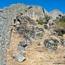
The vineyards are supported by a network of dry-stone walls built without mortar that often endure for hundreds of years. Many of these walls were constructed by hand directly into the steep slopes, forming an impressive example of traditional craftsmanship in viticulture.
The community of curious travelers
AroundUs brings together thousands of curated places, local tips, and hidden gems, enriched daily by 60,000 contributors worldwide.