North Region, Administrative region in Brazil
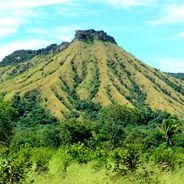
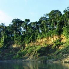
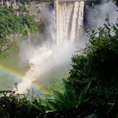
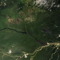
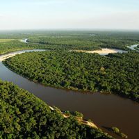
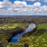
This part of the country includes seven states that together occupy most of the Amazon Basin on Brazilian territory, stretching from the western border to the Atlantic coast. The landscape consists of dense rainforests, wide rivers, and extensive floodplains that cover much of the territory.
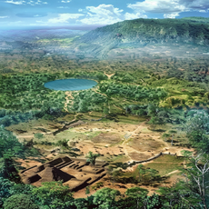
The first permanent European outposts appeared along the river banks in the 17th century as traders and missionaries moved into the area. Systematic settlement only began in the late 19th century when the rubber boom drew people from other parts of the country.
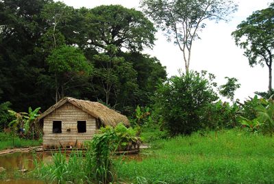
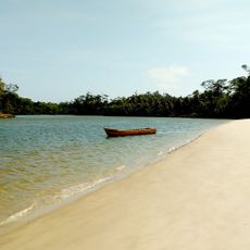
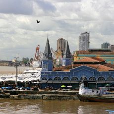
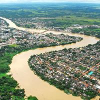
In many riverside communities, residents build floating houses and walkways that rise and fall with water levels as seasons change throughout the year. The traditional markets along the riverbanks sell fresh fish, manioc flour, and palm fruits transported in wooden boats directly from inside the forest.
Access to many locations relies mainly on river boats, as roads often connect only the larger towns. During the rainy season from December through May, water levels rise considerably and may affect movement and stay in lower-lying areas.
In some remote villages, the bells of local churches are still rung by hand during important events, with the sound often the only way to send messages across long distances. The river dolphins that live in these waters are considered by many communities to carry special stories, and some fishermen still adjust their route when they encounter them.
The community of curious travelers
AroundUs brings together thousands of curated places, local tips, and hidden gems, enriched daily by 60,000 contributors worldwide.