Great Basin, Drainage basin in western United States.
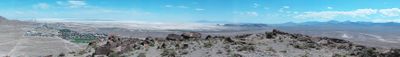
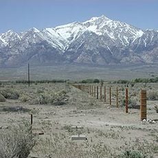
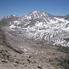
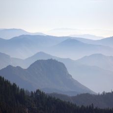
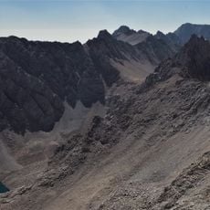
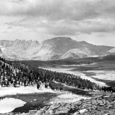
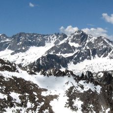
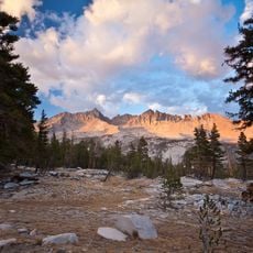
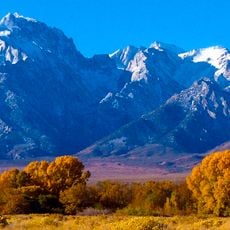
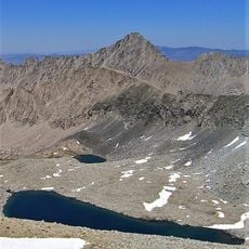
The Great Basin is a vast depression in the western United States, covering portions of Nevada, Utah, California, Idaho, Oregon, and Wyoming. Parallel mountain ranges alternate with broad valleys, creating a north-south pattern across the landscape.
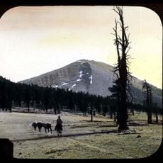
Shoshone, Ute, and Paiute peoples lived here for more than twelve millennia, adapting mobile settlement patterns to dryness and seasonal movement. European explorers reached the area only in the early 19th century, followed by settlers around mid-century.
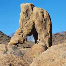
The name refers to closed water systems where rain and snow evaporate in shallow lakes rather than flowing toward the sea. Salt flats and dry riverbeds shape much of the region, especially in the low areas between mountain chains.
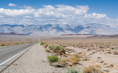
Two major highways cross the region east-west and north-south, linking cities through passes and valley sections. Travelers find fuel stations and lodging mostly in larger towns along those routes.
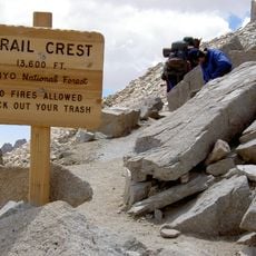
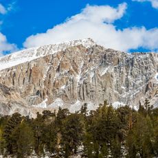
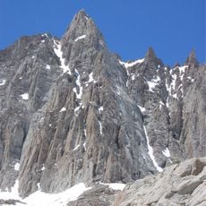
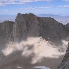
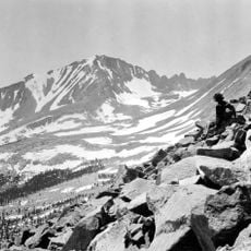
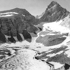
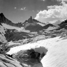
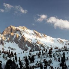
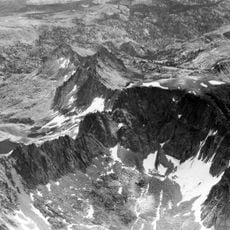
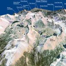
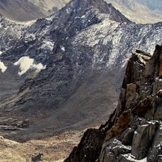
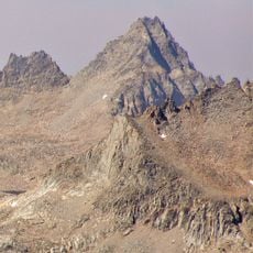
Within this territory lies the lowest point in North America in a broad valley, while several peaks rise above 13,000 feet (4,000 meters). The differences in elevation shape climate, vegetation, and rainfall patterns markedly between valley floor and mountain crest.
The community of curious travelers
AroundUs brings together thousands of curated places, local tips, and hidden gems, enriched daily by 60,000 contributors worldwide.