Glen Canyon National Recreation Area
Glen Canyon National Recreation Area, National Recreation Area in Arizona and Utah, United States
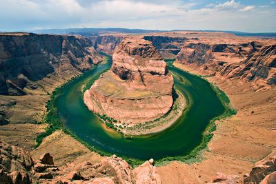
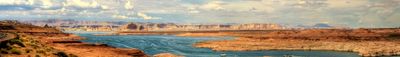
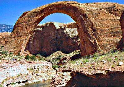
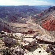
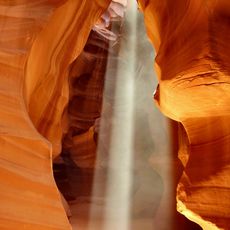
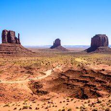
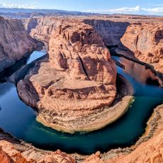
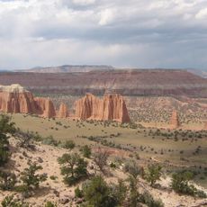
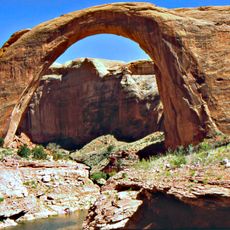
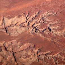
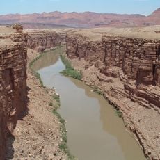
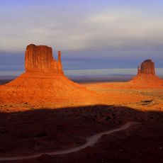
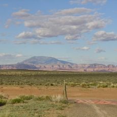
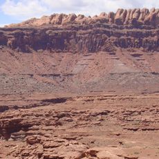
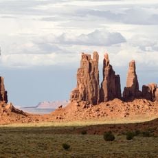
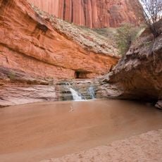
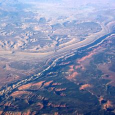
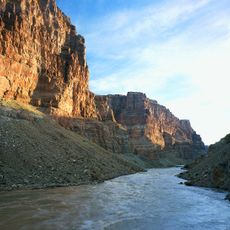
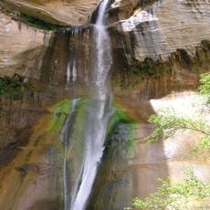
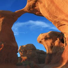
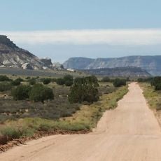
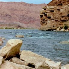
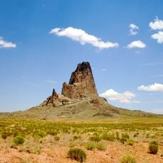
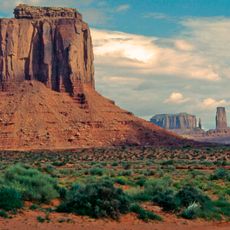
Glen Canyon National Recreation Area is a large protected area spanning Arizona and Utah, featuring red rock formations, the Colorado River, and Lake Powell. The area offers many opportunities for water activities and exploring desert landscapes.
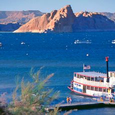
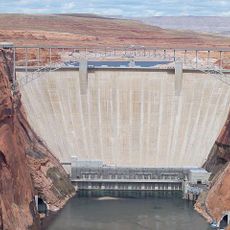
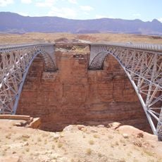
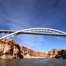
The area was established as a National Recreation Area in 1972, following the completion of Glen Canyon Dam in 1966, which created Lake Powell. This dam transformed the landscape and continues to shape the region today.
The area holds traces of thousands of years of human settlement, with archaeological sites that show where Native Americans once lived. You can see these places in the landscape today, and they tell stories of the people who came before.
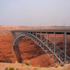
The Carl Hayden Visitor Center near the dam provides information about activities, required permits, and current water levels. Stopping there first helps visitors plan their time and understand what they can do in the area.
Lake Powell has an extensive shoreline with several marinas where you can rent houseboats and motorboats. This makes it a popular spot for multi-day water explorations and adventures on the water.
Location: Kane County
Location: Garfield County
Location: Wayne County
Location: San Juan County
Location: Coconino County
Inception: October 27, 1972
Operator: National Park Service
Address: Utah, USA
Phone: +19286086200
Website: https://nps.gov/glca
GPS coordinates: 36.99361,-111.48694
Latest update: December 20, 2025 12:16
The southwestern United States encompasses desert landscapes, sandstone formations and archaeological sites from several pre-Columbian cultures. The region spans Utah, Arizona, New Mexico and Colorado, featuring geological structures shaped over millions of years by wind and water erosion. National...
Antelope Canyon
18.2 km
Monument Valley
129 km
Lake Powell
6.4 km
Horseshoe Bend
12.9 km
Glen Canyon Dam
6.3 km
Capitol Reef National Park
137.2 km
Bluejohn Canyon
187.4 km
Glen Canyon
17 km
Robbers Roost
169.8 km
Marble Canyon
17.1 km
Navajo Bridges
23.4 km
West and East Mitten Buttes
126.1 km
Navajo Mountain
55.1 km
Kayenta Formation
119.2 km
Totem Pole
128.2 km
Coyote Gulch
66 km
Waterpocket Fold
142.7 km
Cataract Canyon
144.2 kmHayduke trail
120 km
Glen Canyon Dam Bridge
6.5 km
Calf Creek Falls
93.2 km
Devils Garden
65.9 km
Hole in the Rock Trail
81.8 km
Lee's Ferry
16.6 km
Agathla Peak
113.8 km
Hite Crossing Bridge
140.4 km
Merrick's Butte
124.6 km
Escalante Petrified Forest State Park
89.5 kmVisited this place? Tap the stars to rate it and share your experience / photos with the community! Try now! You can cancel it anytime.
Discover hidden gems everywhere you go!
From secret cafés to breathtaking viewpoints, skip the crowded tourist spots and find places that match your style. Our app makes it easy with voice search, smart filtering, route optimization, and insider tips from travelers worldwide. Download now for the complete mobile experience.
A unique approach to discovering new places❞
— Le Figaro
All the places worth exploring❞
— France Info
A tailor-made excursion in just a few clicks❞
— 20 Minutes