
West Virginia, State in Appalachian region, United States
The state contains 45 state parks and 6 national parks across 600,000 acres of public lands within the Appalachian Mountain range.
West Virginia separated from Virginia and joined the Union as the 35th state on June 20, 1863 during the American Civil War.
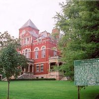
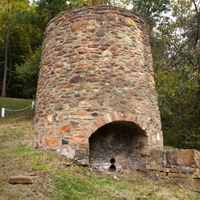
Coal mining heritage shapes the state identity through traditional music, festivals, and industrial sites that preserve the region's working history.
The New River Gorge National Park provides opportunities for rock climbing, hiking trails, and white-water rafting along its 70,000-acre preserve.
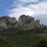
The state contains Dolly Sods, the highest plateau east of the Mississippi River, reaching elevations over 4,000 feet with arctic-like vegetation.
Location: United States
Inception: June 20, 1863
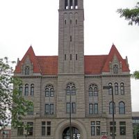
Capital city: Charleston
Elevation above the sea: 455 m
Part of: contiguous United States, South Atlantic states
Shares border with: Ohio, Pennsylvania, Virginia, Maryland, Kentucky
Website: https://wv.gov
GPS coordinates: 38.47584,-80.84084
Latest update: June 4, 2025 20:20

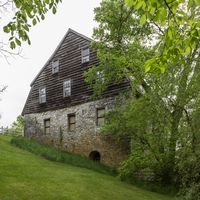
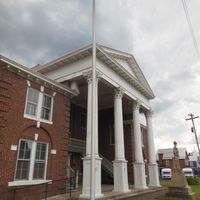
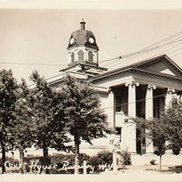
West Virginia combines natural areas with historic sites. The state features waterfalls, mountain peaks, caves and old railroad tracks. Visitors find national forests, historic battlefields and mineral springs. The region displays geological formations, abandoned mining towns and astronomical observatories.

Fallingwater
198.5 km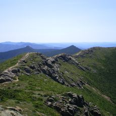
Appalachian Trail
131.5 km
Acrisure Stadium
230.6 km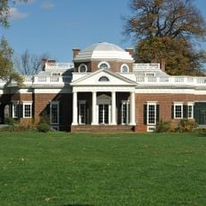
Monticello
215.2 km
Kenyon College
250.2 km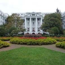
The Greenbrier
89.9 km
Flight 93 National Memorial
242.3 km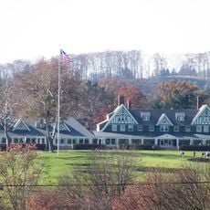
Oakmont Country Club
244.2 km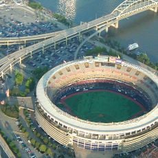
Three Rivers Stadium
230.6 km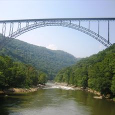
New River Gorge Bridge
50 km
PPG Paints Arena
230.5 km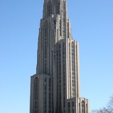
Cathedral of Learning
232 km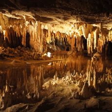
Luray Caverns
206.2 km
Hampden–Sydney College
250.2 km
Kennywood
228.8 km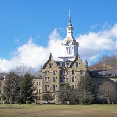
Trans-Allegheny Lunatic Asylum
70.4 km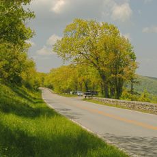
Skyline Drive
207.5 km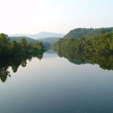
James River
120.9 km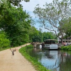
Chesapeake and Ohio Canal
282.5 km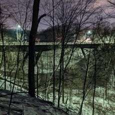
Fern Hollow Bridge
233.1 km
Green Bank Telescope
87.4 km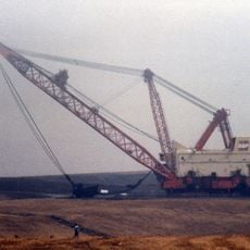
Big Muskie
156.4 km
Civic Arena
230.7 km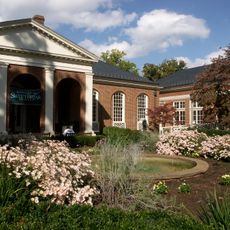
Sweet Briar College
185.4 km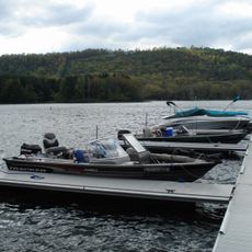
Deep Creek Lake
170.2 km
Horseshoe Curve
302.7 km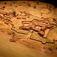
Fort Duquesne
230.2 km
Taylor Allderdice High School
231.4 kmReviews
Visited this place? Tap the stars to rate it and share your experience / photos with the community! Try now! You can cancel it anytime.
Barbour County
Berkeley County

Boone County

Braxton County

Brooke County

Cabell County
Calhoun County
Clay County
Doddridge County
Fayette County

Gilmer County
Grant County

Greenbrier County
Hampshire County
Hancock County

Hardy County
Harrison County
Jackson County
Jefferson County

Kanawha County
Lewis County

Lincoln County

Logan County

Marion County
Marshall County
Mason County
McDowell County

Mercer County

Mineral County

Mingo County

Monongalia County
Monroe County

Morgan County
Nicholas County

Ohio County

Pendleton County

Pleasants County
Pocahontas County

Preston County
Putnam County
Raleigh County
Randolph County

Ritchie County

Roane County
Summers County
Taylor County
Tucker County

Tyler County

Upshur County
Wayne County
Webster County
Wetzel County
Wirt County
Wood County

Wyoming County
Discover hidden gems everywhere you go!
From secret cafés to breathtaking viewpoints, skip the crowded tourist spots and find places that match your style. Our app makes it easy with voice search, smart filtering, route optimization, and insider tips from travelers worldwide. Download now for the complete mobile experience.

A unique approach to discovering new places❞
— Le Figaro
All the places worth exploring❞
— France Info
A tailor-made excursion in just a few clicks❞
— 20 Minutes